Last month Google invited a select number of users and journalists to try out its new augmented reality functionality in Google Maps.
It is an exciting development particularly for those who have ever experienced difficulty finding a location in the real world when Google Maps’ blue dot fails to be accurate enough. But with local and hyperlocal SEO becoming a bigger consideration for businesses seeking to be visible in mobile search, are there implications here too?
How Google is bringing AR to its maps navigation
Back in February, Google invited a small number of local guides[1] and journalists to try out the new AR functionality in its Google Maps service.
As is detailed over on the Google AI blog[2], they are calling the technique “global localization”. It aims to make Google Maps even more useful and accurate by building on its GPS and compass powered blue dot with added visual positioning service (VPS), street view, and machine learning.
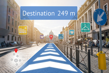
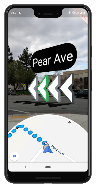
The result incorporates AR and map data. When planning a route from A to B, users can use the smartphone lens to see the world in front of them with Google Maps’ location arrows and labels overlaid.

Challenges
Accuracy and orientation have always been the biggest challenge for real-time mobile mapping. GPS can be distorted by buildings, trees, and heavy cloud cover. Orientation is possible because mobile devices are smart enough to measure the magnetic and gravity field of the earth relative to the motion of the device. But in practice, these measurements are very prone to errors.
With VPS, street view, and machine learning added to the Google Maps’ route-planning functionality, the early reports are very positive. VPS works

